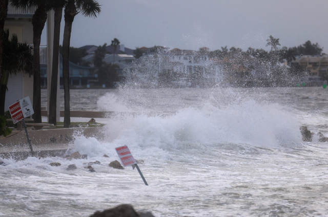
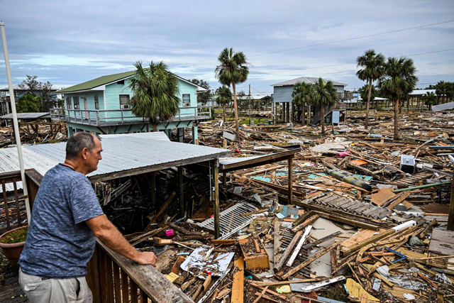
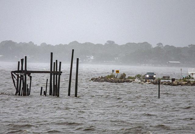
TAMPA — Hurricane Helene was set to slam into the Florida coast as a "catastrophic" Category 4 storm Thursday, the US weather service said, threatening up to 20 feet (six meters) of deadly ocean surge and pummeling winds as residents rushed to get out of harm's way.
The fast-moving storm was a Category 2 early Thursday, the National Hurricane Center (NHC) in Miami said, packing wind speeds of 100 miles an hour as it churns over the warm waters of the Gulf of Mexico.
The NHC said it is expected to make landfall near the state's Big Bend by Thursday evening or early Friday, warning that "damaging" winds may "penetrate well inland across the southeastern United States, including over the higher terrain of the southern Appalachians."
Along with the storm surge and fierce winds, it warned of up to 18 inches (46 cm) of rain and potentially life-threatening flooding as well as "numerous" landslides across the southern Appalachians.
"Preparations to protect life and property should be rushed to completion," the hurricane center said.
Several states are in the potential path, and Atlanta, a Georgia metropolis hundreds of miles from the Gulf Coast, home to five million people, is forecast to experience close to tropical storm-force winds and heavy rain into Friday.
Florida Governor Ron DeSantis issued a state of emergency for nearly all of Florida's 67 counties.
He mobilized the National Guard and positioned thousands of personnel to prepare for possible search and rescue operations and power restoration.
"The impacts are going to be far beyond the eye of the storm," DeSantis said.
A White House statement said President Joe Biden's administration "stands ready to provide further assistance to Florida, and other states in the path of the storm."
Helene earlier lashed Mexico's Yucatan peninsula, home to multiple tourist hotspots.
Sixteen Florida counties have announced mandatory partial evacuation orders, while two have ordered the evacuation of all residents.
DeSantis said at least 62 health care facilities, from hospitals to nursing homes, have already begun evacuations.
Sandbags, boarded windows
A 250 mile stretch of coastline from Tampa Bay to just shy of Panama City, on the Florida panhandle is under hurricane warning.
A "direct impact" was likely in the Tallahassee region, where coastal communities already looked like ghost towns by Wednesday afternoon.
In Crawfordville, potentially in the storm's direct path, wheelchair-bound residents of the Eden Springs Nursing and Rehab Center were being placed on coach buses for evacuation.
Other locals were seen loading up on gas and supplies, filling sandbags and boarding up homes and businesses.
Communities across a wide swath of northwest Florida , including Tampa Bay, an area of more than three million residents , faced the dangerous threats of storm surge, heavy rain and fierce winds.
In St. Petersburg, adjacent to Tampa, cars lined up at supply donation or distribution centers while people filled sandbags.
"I expect the water to come up and just don't want to get in the house," Clearwater Beach resident Jasper MacFarland told AFP, adding that he is building a barrier to "keep as much water out of the house as possible."
Chad Campbell, a tourist from Washington state, told AFP he has changed his flights to get home to "where none of this ever happens. No tornadoes, no hurricanes. So we'll be fine if we get back home early tomorrow."
If forecasts are confirmed, Helene would become the most powerful hurricane to hit the United States in more than a year.
Category 3 Hurricane Idalia hit northwestern Florida in August 2023.
Historic storms have hit multiple parts of the globe in recent weeks.
Researchers say climate change likely plays a role in the rapid intensification of storms, because there is more energy in a warmer ocean for them to feed on.


